Using Map View
Overview
Once your course and personal preferences are set, the MAP feature will automatically display a satellite image of your facility overlaid with the golf course.
Using Map View
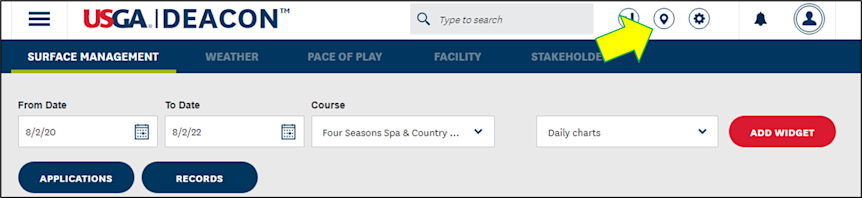
1. Use the MAP button on the dashboard to navigate to the MAP view of your facility:
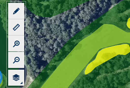
2. On-screen tools in the upper left allow you to draw new surfaces or features, measure distances, zoom in or out and add weather layers.
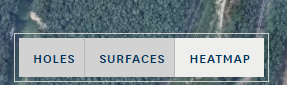
3. Use the tools on the bottom left to overlay hole numbers, playing surfaces or heatmap on the course:
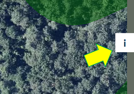
4. Use the info tab on the right side of the MAP screen to expand the Course and Surface Info tabs:
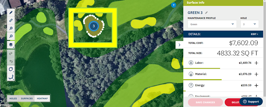
5. Clicking on any course feature will bring up the Surface Info window with details including maintenance cost, size, inputs and more: